Second Workshop on Analysis of Aerial Motion Imagery (WAAMI)
WAAMI 2021
In conjunction with International Conference on Computer Vision (ICCV 2021) Montreal, Canada 11 | 17 October 2021
http://iccv2021.thecvf.com/home
(The ICCV 2021 conference will be a virtual experience)
Topics
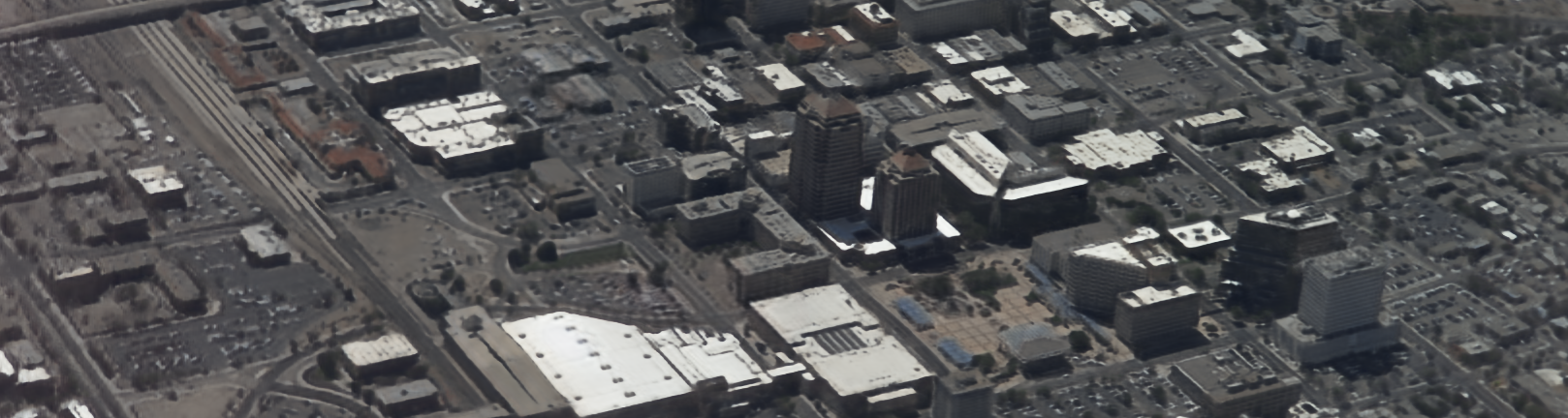
The aim of this workshop is to solicit papers from academia, government, and industry researchers with original and innovative works on all aspects of analysis of aerial motion imagery to address the needs in a diverse set of application areas. Of particular interest to this workshop is analysis of aerial wide area motion imagery (WAMI) that is characterized by very large (few square miles) ground coverage. WAMI enables large scale surveillance and monitoring for extended periods of time, but suffers from unique challenges such as hundreds to thousands of moving objects per frame, small object sizes, parallax, and lower frame rates.
Topics of interest include but are not limited to:
- Robust feature detection and matching
- Aerial video stabilization
- Object detection and/or recognition in aerial videos
- Multi-object tracking
- Multi-view object tracking
- Persistent single object tracking
- 3D-enabled object tracking
- Landmark detection and recognition for aerial navigation
- Structure-From-Motion
- Aerial 3D reconstruction
- Applications of computer vision for aerial platforms
- Scene understanding and video summarization for aerial platforms
- Embedded video processing for aerial systems
- Multi-sensor data fusion for aerial systems
- Deep learning for aerial image analysis
- Video compression for aerial motion imagery
- Synthetic scene generation for aerial applications
- Autonomous navigation
- Multi-UAV swarm coordination and sensing
- Coordination of airborne camera systems
- Mission planning for airborne data collection
- Image Fusion applied to airborne and ground-based camera systems
- Fusion of open-source geospatial data and airborne imagery
- Distributed learning based approaches for scene understanding
- Scene understanding in degraded visual environment
- Environmental or urban planning
- Agriculture
- Disaster relief
- Surveillance and monitoring